Menu
Lai saņemtu valsts atbalstu, jums ir jāazipilda projekta pieteikums, kas jāparaksta ar drošu elektronisko parakstu, kā arī jāiesniedz prasītie pamatojošie dokumenti. Vairāk informācijas ekii.lv.
Jā, drīkst atstāt gāzes padevi ēdiena gatavošanai. Gāzes izmantošana ūdens sildīšanai ir pieļaujama, ja pirms projekta īstenošanas ēkā bija divi gāzes katli – viens ēkas apsildīšanai un otrs - ūdens sildīšanai.
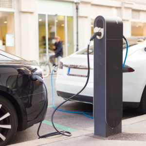
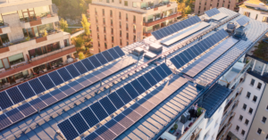
Iesakām izvērtē plānotās elektrostacijas jaudu un apsvērt uzstādīt mazākas jaudas elektrostaciju vai saules paneļus izvietot tā, lai tie efektīvāk ražotu elektrību rīta un vakara stundās.
Iesniedzot projekta pieteikumu par EKII tablsta saņemšanu nav jāpievieno īpašumtiesību dokumenti. Vides investīciju fonds īpašumtiesības pārbaudīs zemesgrāmatā.
Gadījumos, ja projektā norādītajā dzīvojamā mājā notiek saimnieciskā darbība, tad dzīvojamās mājas īpašnieks Valsts ieņēmumu dienesta tīmekļa vietnē aizpilda de minimis veidlapu. Sīkāka informācija vadlīnijās projekta iesniedzējiem.
Adresē, kurā tiek īstenots projekts ar EKII atbalstu, Ir pieļaujama saimnieciskās darbības veikšana. Gadījumā, ja saimnieciskā darbība notiek dzīvojamā mājā vai saimnieciskajā darbībā tiek izmantoti projekta rezultāti (piemēram, saražotā elektrība ar saules elektrostaciju), tad dzīvojamās mājas īpašniekam jāpiesakās de minimis atbalstam.